Skip to main content Skip to footer

Overview

As urban growth, climate risks, and rising public expectations intensify, governments must move beyond fragmented spatial data to unified geospatial intelligence. Cloud GIS, AI, and remote sensing are mature and ready — yet legacy systems, siloed databases, and manual workflows limit integration and expose governance gaps. Bridging this divide is essential to building resilient, anticipatory governance and delivering measurably better citizen outcomes.

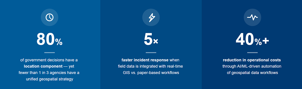
Key Statistics

Key Statistics

The Infosys GIS Centre of Excellence, with over 20+ years of experience, brings 350+ GIS consultants and 2,000+ GIS data engineers globally, backed by project management and domain experts. As an ESRI Gold Partner with System Ready and Cloud Services Specialties, Infosys is a one-stop solution for GIS transformation — spanning consulting, implementation, managed services, application build, integrations, and data management. We serve as a trusted delivery partner for US and Canadian government agencies, transit authorities, and utilities, with a strong ecosystem including ESRI Suite, GE Vernova, Autodesk, SAP, IBM Maximo, Schneider ArcFM, Geocortex, Epoch Software, and leading cloud platforms.

We Engage with Clients On

10 integrated GIS service areas – from strategy through to next- generation technology deployment

We Engage with Clients On

Line

Challenges & Solutions

Infosys GIS unifies fragmented, multi-dimensional spatial datasets — enabling agencies to monitor compliance, enforce policies, secure funding, and respond to regulatory changes within defined geographic jurisdictions faster and with greater confidence.

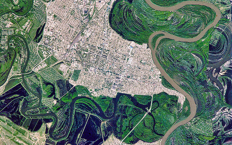
Real-time perils mapping and AI-driven predictive models help agencies manage floods, wildfires, and urban emergencies — optimizing evacuation routes, pre-positioning resources, and cutting response times by up to 5x.

GIS spatial systems track land use, ownership violations, and urban sprawl. Predictive GeoAI models map high-risk zones — flooding, heat islands — enabling evidence-based infrastructure planning and resilient community development.

Integrate spatial and asset data to track conditions, predict failures, and enable proactive maintenance across bridges, pipelines, dams, and utility grids — improving reliability and reducing long-term costs.

Infosys facilitate cloud migration, database restructuring, and geo-enabled digitization — transforming fragmented legacy records into unified spatial systems for improved infrastructure planning, tax equity, and asset maintenance.

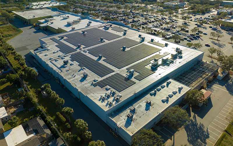
Spatially integrate Distributed Energy Resources (DERs) with real-time asset visibility, geospatial analytics, and digital twins — enabling optimal renewable siting, predictive planning, and resilient energy networks.

Integrate federal and county datasets into a unified spatial framework for corridor mapping, route optimization, terrain analysis, and streamlined permitting — driving predictive, data-driven expansion of resilient grid infrastructure.

Request for services

Find out more about how we can help your organization navigate its next. Let us know your areas of interest so that we can serve you better.

All the fields marked with * are required

Opt in for marketing communication Privacy Statement

Please fill all required fields